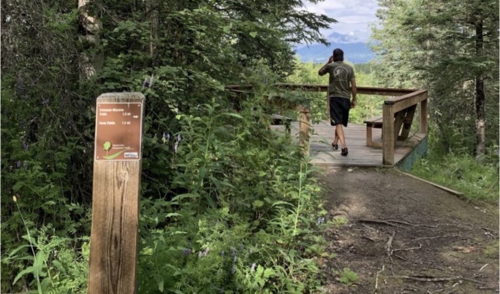
One of the treasures of the borough core area is the Matanuska Greenbelt. These trails loop between the Palmer-Wasilla Highway, the Glenn Highway, the Parks Highway, and Trunk Road. However, you’re not alone if you’ve taken a wrong turn on the trails and wondered where you were and how to get back to your car.
That experience is becoming harder to do. The Mat-Su Borough is installing over 300 signs across 33 miles of trails in the Greenbelt. You-Are-Here markers, directional signs pointing toward exits, and boundary markers are going up across the trail system. Many include QR codes linked to online navigation tools.
New trailhead maps are coming, too. Bear-safe trash containers are coming. And every trailhead will get pet waste stations.
The Mat-Su Trails and Parks Foundation provided about $40,000 in grants for the project.
The Greenbelt covers almost 3000 acres. The Mat-Su Borough, Mat-Su College, the UAF Experiment Farm, and the Matanuska Lakes State Recreation Area each own a piece of the area.
The rules of the trail change depending on where you’re standing.
For instance, some trails run through active agricultural and research lands. Staying on the designated trails really matters.
Mat-Su Borough Outdoor Recreation Trail Specialist Alan McClain says most people weren’t ignoring the rules. They just didn’t know they existed.
McClain loves seeing people use the Greenbelt. However, if someone gets lost, they’re less likely to go back.
The Greenbelt is outdoor backcountry-style recreation for many Valley residents. McClain knows that when the experience is clear and confidence-building, it becomes a gateway for more exploration. When the experience is confusing, it becomes a barrier.
McClain wants people to have positive experiences on Alaskan trails so they can feel comfortable spreading out to other outdoor adventures.
The signage project has been years in the making. Borough GIS Specialist Heidi Whipple spent several years refining trail data. A public dataset was released last summer. That groundwork made the signage project possible.
Getting the land managers from the four stakeholders on the same page took patience and cooperation. McClain said it was a give and take — this is what we want, this is what they want. It made the whole thing feel cooperative.
Borough Recreation and Library Services Manager Hugh Leslie calls it a legacy project. It is designed to serve trail users for years to come.
Crews began installation when trails dried out.
The Matanuska Greenbelt has always been worth exploring. By the end of summer, it’ll be easier to find your way back to your car.
This story is drawn from the May edition of the Mat-Su Trails and Parks Foundation newsletter. Visit their website at matsutrails.org for more information on the Foundation and their work.
Page 2 airs weekdays at 7 a.m., 9 a.m., 11:50 a.m., and 6 p.m.
Tune in at 89.7 in Palmer, 89.5 in Sutton, 88.3 in Chickaloon and Glacier View or online at bigcabbageradio.org.
Please support Page 2 News and Big Cabbage Radio. Become a member: Donate today at bigcabbageradio.org.
This Page Two article was reported by Emily Forstner and produced by yours truly, Lee Henrikson. If you have an idea for a Page 2 topic, please email us at page2@radiofreepalmer.org.
photo credit: Mat-Su Trails and Parks Foundation